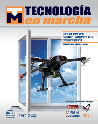
Design of a Data Acquisition System for Photogrammetry with Unmanned Aerial Vehicles (UAVs)
Main Article Content
Abstract
This paper describes the design and implementation of an acquisition system for an aerial unmanned system (UAV), capable of systematically register information from sensors and imaging devices with a precise spatial and temporal reference. The goal is to use the collected data with photogrammetric techniques in order to generate high-resolution digital elevation models that allow the evaluation of soil erosion over certain time intervals. This solution seeks to improve the quantification and understanding of erosion processes with respect to traditional methods employed in Costa Rica.
Article Details
Los autores conservan los derechos de autor y ceden a la revista el derecho de la primera publicación y pueda editarlo, reproducirlo, distribuirlo, exhibirlo y comunicarlo en el país y en el extranjero mediante medios impresos y electrónicos. Asimismo, asumen el compromiso sobre cualquier litigio o reclamación relacionada con derechos de propiedad intelectual, exonerando de responsabilidad a la Editorial Tecnológica de Costa Rica. Además, se establece que los autores pueden realizar otros acuerdos contractuales independientes y adicionales para la distribución no exclusiva de la versión del artículo publicado en esta revista (p. ej., incluirlo en un repositorio institucional o publicarlo en un libro) siempre que indiquen claramente que el trabajo se publicó por primera vez en esta revista.

